Parts of Scotland and England are expected to experience storm damage on Friday from Storm Otto, the season's first named storm.
In northern Scotland, exposed coasts could experience winds as high as 80 mph, according to the Met Office.
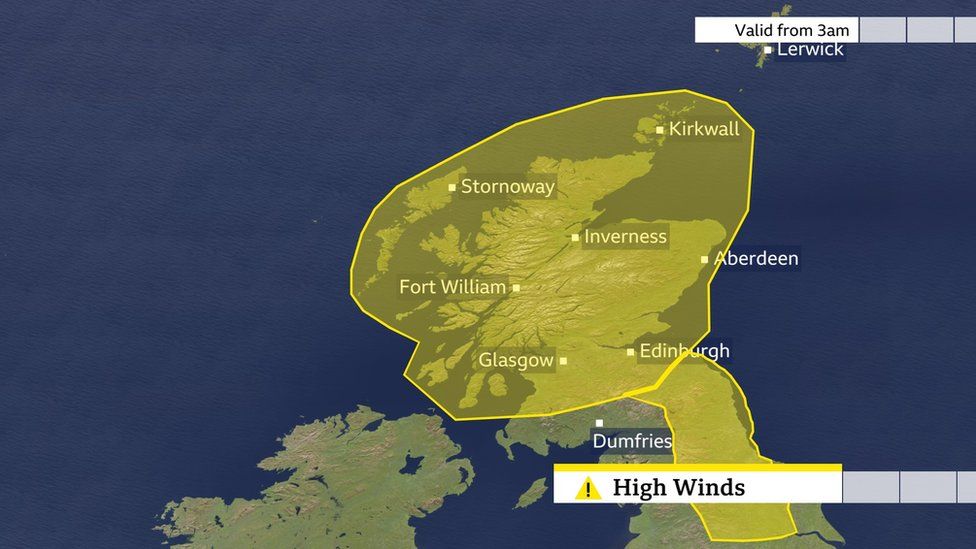
A yellow warning has been issued from 05:00 to 14:00 for the Borders and north-eastern England, as well as from 05:00 to 15:00 for almost the entire country of Scotland.
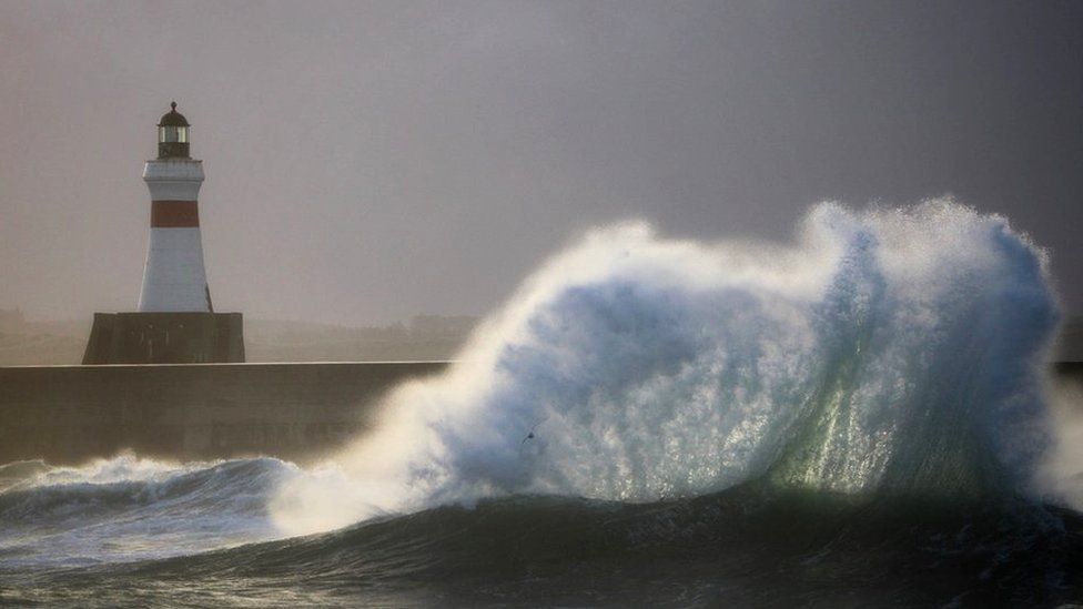
The North Sea coasts could experience large waves, and there's a chance that some buildings could sustain some damage.
Customers have already been warned by ferry operator CalMac about service interruptions between the mainland and islands off Scotland's west coast.
The upland regions from Scotland to the Pennines could experience gusts of up to 100 mph, according to the Mountain Weather Information Service, which described it as a strong Atlantic storm.

Otto is the name given to the storm by the Danish Met Office. Using the same name, the UK Met Office.
Since Franklyn in February, the UK has not experienced a named storm. The Met Office names storms from September to September, and does so to increase public awareness of severe weather.
"Storm Otto will bring high winds and rain to the UK," said chief meteorologist Andy Page. "Some northern parts of Scotland and the northeast of England are likely to get the strongest wind gusts, possibly exceeding 75 mph.
The severity of Storm Otto may cause the warnings to change.
"There is a chance that travel arrangements could be upset, and high-sided vehicles may be especially vulnerable in this situation. Storm Otto is expected to bring rain, and areas of western Scotland could see rainfall of 40 to 50 mm. ".
75 mph winds earlier this month caused delays to flights and ferry services in the Highlands and Western Isles.


